The M 6.0 South Pacitan Earthquake Resulted from the Subduction of the Indo-Australian Plate to Eurasia
The exact point of the earthquake was in the Indonesian Ocean, 117 km southwest of Pacitan with a depth of 10 km
This article has been translated using AI. See Original .
About AI Translated Article
Please note that this article was automatically translated using Microsoft Azure AI, Open AI, and Google Translation AI. We cannot ensure that the entire content is translated accurately. If you spot any errors or inconsistencies, contact us at hotline@kompas.id, and we'll make every effort to address them. Thank you for your understanding.
By
SIWI YUNITA CAHYANINGRUM
·3 minutes read
The following article was translated using both Microsoft Azure Open AI and Google Translation AI.
KOMPAS/SIWI YUNITA CAHYANINGRUM
An earthquake with a magnitude of 6.0 shook the southern part of eastern Java on Thursday (8/6/2023). The source is from BMKG.
MALANG, KOMPAS - An earthquake with a magnitude of 6.0 shook the south of eastern Java on Thursday (8/6/2023). The exact point of the earthquake was in the Indonesian Ocean, at 9.15 South Latitude and 110.69 East Longitude, or 117 km Southwest of Pacitan. The earthquake with a depth of 10 km occurred due to the subduction of the Indo-Australian plate into the Eurasian plate.
Based on information from the Meteorology, Climatology and Geophysics Agency, the earthquake does not have the potential for a tsunami, but BMKG asks residents to be cautious as there is a possibility of aftershocks. Until 01.00, there have been no reports of building damage or casualties.
In Malang, a number of residents who were sleeping felt the tremors of an earthquake. "I was almost asleep, but was startled as the bed felt like it was moving. I thought it was my child, but it wasn't. The tremors continued until I checked the water gallon. It turned out to be an earthquake," said Nining Wahyuningsih (42), a resident of Kampung Sigura Hill, Lowokwaru District, Malang City.
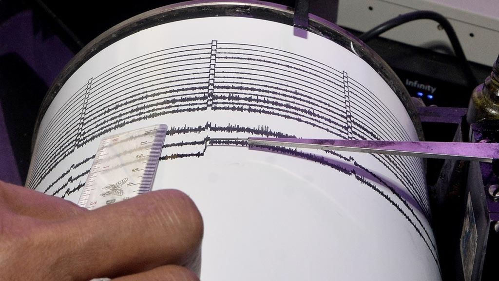
Illustration. Officers observe the seismograph chart monitoring the activity of Mount Agung at the Monitoring Post in Rendang Village, Karangasem, Bali, on Tuesday (21/11/2017).
The earthquake was also felt by Yunita (43), a resident of Blitar. Yunita woke up and immediately carried her child out of the house because she felt the earthquake vibrations. Likewise, Marina Khusniati (43) was on the 7th floor of a hotel in Solo when the earthquake occurred. "It was really felt on the 7th floor," she said.
Until 00.47, BMKG noted nine times of aftershock earthquake activity with the largest magnitude of M 4.1.
According to the BMKG website, the earthquake was felt in Yogyakarta City, Semarang, Jepara, Demak, Banjarnegara in Central Java as well as Ponorogo, Blitar, Malang, Nganjuk, and Madiun with varying intensity.
Head of the BMKG Earthquake and Tsunami Center, Daryono, stated in a release that the earthquake was a shallow earthquake caused by the subduction activity of the Indo-Australian plate beneath the Eurasian plate. The source mechanism results indicate that the earthquake had an upward movement or thrust fault mechanism.
Until 00.47, the BMKG recorded nine aftershocks with the largest magnitude of M 4.1.
Fishermen go to sea in the waters of the Indonesian Ocean near Cisolok Beach, Sukabumi Regency, West Java, Monday (29/4/2019).
An earthquake occurred in Pacitan on January 9, 2023. The local residents were surprised by the tremors of 5.9 magnitude. The epicenter was located at 8.99 degrees south latitude and 111.16 degrees east longitude, approximately 90 km southeast of Pacitan, and at a depth of 10 km. There were no casualties or damage to buildings reported.
In 2022, Pacitan was also shaken by a 5.6 magnitude earthquake on September 11 at 11.16. The epicenter was located 316 km southwest of Pacitan with a depth of 10 km. At that time, Daryono also stated that the earthquake was a shallow earthquake resulting from the collision of the Indo-Australian plate with Eurasia.
Editor:
SIWI YUNITA CAHYANINGRUM
Share
Kantor Redaksi
Menara Kompas Lantai 5, Jalan Palmerah Selatan 21, Jakarta Pusat, DKI Jakarta, Indonesia, 10270.
Tlp.
+6221 5347 710
+6221 5347 720
+6221 5347 730
+6221 530 2200
Kantor Iklan
Menara Kompas Lantai 2, Jalan Palmerah Selatan 21, Jakarta Pusat, DKI Jakarta, Indonesia, 10270.