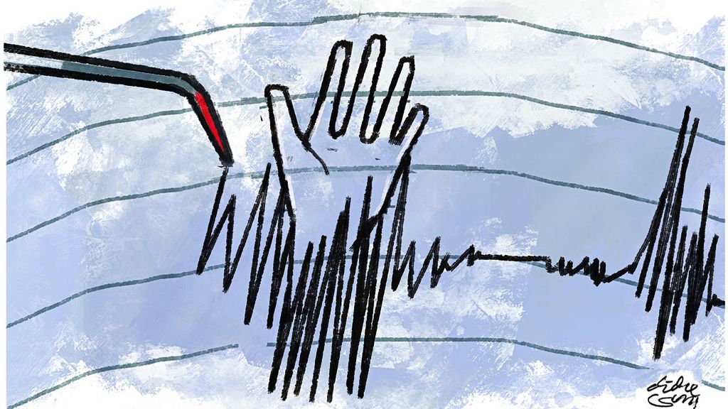
Vigilant of Shallow Crust Earthquakes
The Cianjur earthquake was detectable by the BMKG within ten minutes after the jolts through a shake map modeling, which proved to be accurate in informing the spread of damaged areas.

Monday, 21 Nov. 2022, at 1:21.10 p.m. Western Indonesian Time (WIB), Cianjur and its surroundings were rocked by a tectonic earthquake. The analysis by the Meteorological, Climatological and Geophysical Agency (BMKG) showed the earthquake that had occurred was a magnitude of 5.6.
The epicenter of the earthquake was located inland, in Cugenang district, Cianjur regency, at a depth of 11 kilometers.
With reference to the Indonesian seismicity map for the 2009-2021 period, it appears that the location of the Cianjur earthquake epicenter is in an active seismic zone, marked with recurrent seismic activity in the region. The monitoring system at the National Tsunami Warning Center (NTWC) BMKG shows that the Cianjur earthquake promulgated very quickly within one minute and 18 seconds.
Based on the location of the epicenter and the depth of the hypocenter, the earthquake was a shallow crustal one triggered by active seismic movement around the Cimandiri Fault. The movement was categorized as a left-lateral strike-slip.
Also read:
> Earthquake Zone and Earthquake Resistant Houses
> Grieving over Destruction Caused by Quake in Cianjur
Macro-seismically, the earthquake hit the region in varying intensity on the Modified Mercalli Intensity (MMI) scale: in Cianjur regency an intensity of V-VII MMI, in Garut and Sukabumi of IV-V MMI, Cimahi, Lembang, Bandung, Cikalong Wetan, Rangkasbitung, Bogor and Bayah of III MMI, Rancaekek, South Tangerang, Jakarta and Depok of II-III MMI.
The Cianjur earthquake was detectable by the BMKG within ten minutes after the jolts through a shake map modeling, which proved to be accurate in informing the spread of damaged areas.
The earthquake also caused collateral hazards with landslides found in several places in Cianjur regency.
Based on the shake map published by the BMKG, the earthquake turned out to be destructive, leaving hundreds of people dead and tens of thousands of houses severely damaged. The earthquake also caused collateral hazards with landslides found in several places in Cianjur regency.
Several factors made the Cianjur earthquake very destructive. First, the depth of the hypocenter was very shallow. Second, the earthquake’s epicenter was located beneath a residential area. Third, the structure of residential houses did not meet earthquake-resistant standards. Fourth, the location of residential settlements was in the soft soil zone which could trigger a local site effect. Fifth, the location of settlements was in the hills which was prone to a topographic effect.
Shallow crust quakes
Based on geological, geophysical, geodesic and seismic activity data as well as seismic history, there are three main earthquake zones in Indonesia: (1) subduction/plate subduction earthquake zones, (2) fault/shallow crustal fault zones (shallow crustal fault zone) and (3) diffuse earthquake zones.

Of the three earthquake zones, we are currently focusing on shallow fault/crust fault earthquakes because their impacts are very destructive and deadly, such as the devastating earthquake that recently hit Cianjur.
There are several characteristics of shallow crustal earthquakes we must recognize in order to be aware of their damaging effects. Below are some characteristics of shallow crustal earthquakes for us to understand together.
The shallow crustal active fault zone is the site of rock deformation that triggers the earthquakes. It is classified as shallow crustal earthquakes because the hypocenter of the earthquakes is centered in the relatively thin crust at shallow depths near the surface.
This movement is known as a strike-slip.
Shallow crust earthquakes may happen because the rock plates in the shallow crust layer move in a horizontal direction due to the accumulation of stress energy. This movement is known as a strike-slip.
The most important and main factor related to the cause of damages to buildings in the case of shallow crustal earthquakes is the very shallow hypocenter.
To cause damage to buildings, shallow crustal earthquakes do not necessarily occur in a high magnitude. Shallow crustal earthquakes with magnitudes 4 and 5 carry the potential to cause serious damage to the buildings.
In the case of shallow crustal earthquakes, the amplitude of seismic waves with a relatively high frequency does not experience energy attenuation.
Not experiencing attenuation, the emitted energy of the earthquake is still very high to reach the ground surface on which are many residential areas.
Shallow crustal earthquakes range at the depth from one to 30 kilometers. The shallow crustal earthquake zones in West Java include the Cimandiri Fault, Baribis Fault, Citarik Fault, Cipamingkis Fault, Lembang Fault and Cirata Fault.
In shallow crustal earthquakes with strike-slip movement, the dominant impacts can be observed as to which locations will suffer the most because of the earthquake’s rupturing movement.

In many cases of shear earthquakes, the rupture can propagate along the fault surface very quickly at speeds approaching or exceeding the seismic shear wave velocity, which is commonly referred to as a supershear earthquake.
Shallow crustal earthquakes which are part of intraplate earthquakes are generally triggered by the ruptures at a relatively narrow area. The rupturing process produces seismic shocks with such a high stress drop to radiate destructive high-frequency seismic waves.
Shallow crustal earthquakes with high frequency will potentially cause extensive damage because the generated ground shaking is very powerful.
It is not surprising that the Cianjur earthquake that occurred at a shallow crust generated a series of high frequencies to cause severe damage.
The damages will be more devastating if the quake-struck area is composed of soft and thick soil, in which the impacted seismic wave resonance will result in the amplification or strengthening of the quake shocks.
Shallow crustal earthquakes also have the potential to cause surface ruptures that can further damage buildings along the fault line. Any structures built on active fault lines will suffer damage when the faults experience a shift.
Such a plate when being deformed or ruptured can produce a series of aftershocks.
Shallow crust earthquakes are generally followed by a series of aftershocks because the shallow crust layers of the tectonic plates are relatively heterogeneous and brittle. Such a plate when being deformed or ruptured can produce a series of aftershocks.
The epicenter of shallow crustal earthquakes is not as popular as that of megathrust earthquakes so far known to experts and our society. But shallow crustal earthquakes, with inland epicenters, appear to be more frequent and deadly that cost many lives.
Decreasing aftershock activity
BMKG monitoring of the Cianjur earthquake activity showed that until Wednesday, 23 Nov. 2022, at 12.30 p.m. WIB, there had been 169 aftershocks with the largest magnitude recorded at 4.2 and the smallest magnitude at 1.2.

Based on the latest seismic activity data, the aftershocks fluctuate and tend to be lowering in magnitude and occurring less frequently.
Regarding the aftershocks, the public has been advised to remain calm in vigilance.
With the aftershocks still being likely to occur, the public has been told to remain cautious because of the possibility of significant aftershocks that might carry the potential to cause further damage to the buildings. The people are told not to occupy their houses that are already weak, cracked, partially damaged or tilted, because even moderately strong aftershocks might bring them down.
During heavy rains, significantly strong aftershocks might trigger rock deformation and landslides.
People have been alerted over hilly areas with steep cliffs that stand prone to slope instability in the event of strong aftershocks. During heavy rains, significantly strong aftershocks might trigger rock deformation and landslides.
In the aftermath of a devastating earthquake, people will usually be coping with fake yet worrying news, such as the prediction of more earthquakes. In this matter, they are told not to be easily fooled.
Up until now, there is no technology that can predict precisely and accurately when, where and how large an earthquake will occur. The BMKG has never issued information to the public about earthquake prediction.
/https%3A%2F%2Fasset.kgnewsroom.com%2Fphoto%2Fpre%2F2018%2F10%2F04%2Fe396ae88-1bfc-4bd9-bc26-a6c629a3b372_jpeg.jpg)
Daryono
Daryono, Head of the Earthquake and Tsunami Center of the Meteorological, Climatological and Geophysical Agency (BMKG).
(This article was translated by Musthofid).